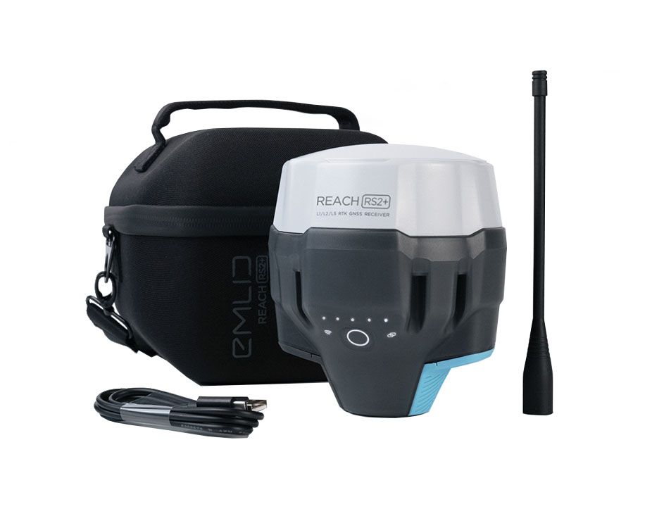
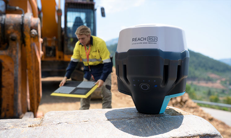
Emlid RS2+ the new generation receiver with LTE modem for connection to 5G networks
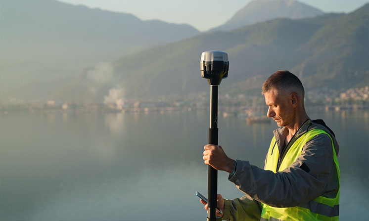
Compatible with any CORS (corrections services), Reach RS2+ is the turnkey solution for surveying, topographic stakeouts and data collection with centimeter precision.
2199€ technical support and training included
Engineered to be tough
IP67 - RS2 is waterproof up to 1 m depth.
Tested -20°C...+65°C
Covered with elastomer
This is a rubber-like material that forms a shock absorber around the whole device
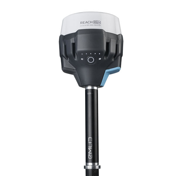
Rugged 5/8″ mount
A precision CNC machined threaded mount is inserted during the molding process and becomes one with the plastic.
LoRa radio
868/915MHz Frequency range Up to 8 km
Industrial battery
LiFePO4 charges from any USB port and power bank / 2000+ cycles
Reach RS2+ receive correction datas directly via the GSM network from your smartphone, it fixes the coordinate in a few seconds even in difficult conditions. No additional device or software is required, all you need is a smartphone.
Corrections and log formats: NTRIP, RTCM3, RINEX
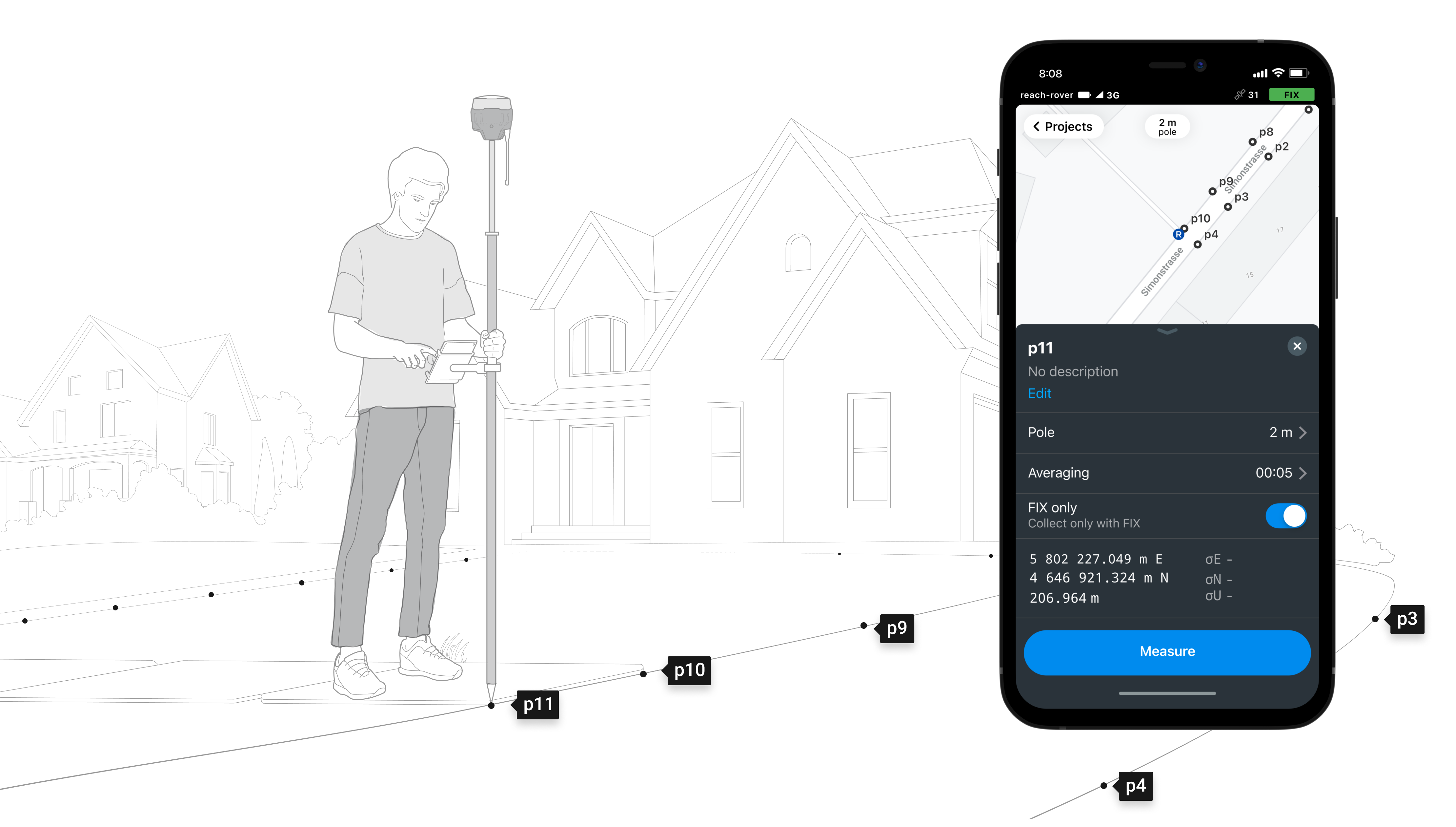
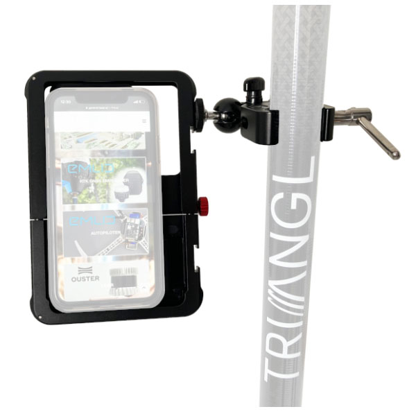
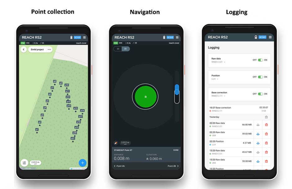
Smartphone operation via the free ReachView mobile app.
For point collection, just create custom projects by location. A name and an offset can be saved on each point. The results are then viewed from the project list and can be downloaded in near real time with your smartphone and then sent by email . Ideal for aerial works with Ground Control Points and automated import to photogrammetry softwares.
Export formats: DXF, CSV, GeoJSON, SHP.
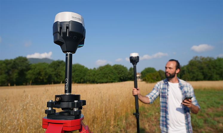
Interoperable, works in base/rover configuration.
Without GSM network and therefore without corrections, use two Reach RS2+ receivers. One in base station configuration to broadcast your corrections to the second receiver (in local georeferencing or attached to a specific coordinate system). You can also record log files continuously for your post-processing operations.
Point collection: save points, and export data to CSV
Record each position as a point with centimeter precise coordinates. Export projects and open them in GIS or CAD software like AutoCAD, ArcGIS, QGIS, and others.
Stakeout: find point’s position on the ground
Stakeout is used to find exact physical locations of points. They can be collected in ReachView or imported from other CAD or GIS software.
Logging in RINEX: record raw data, position, and base correction logs
Record raw data, position and base correction logs. Point collection and recording of RAW data are independent processes and can be used simultaneously. ReachView has a simple and intuitive interface for logging configuration and control.