Le Castellet – Survey and topographic map of the Paul Ricard racing circuit made by drone and aerial photogrammetry
Le Castellet – Survey and topographic map of the Paul Ricard racing circuit made by drone and aerial photogrammetry
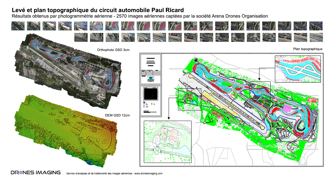
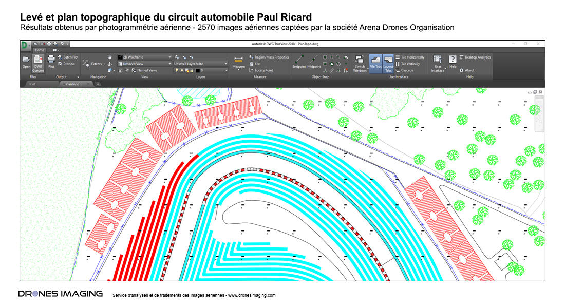
Survey map built from a 270ha orthophoto and DSM (digital surface model). Results obtained from 2570 aerial images taken by the Arena Drones Organisation comapny.
Entire survey map of the Paul Ricard racing circuit
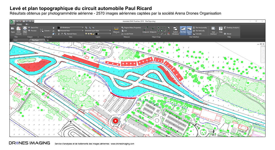
Low resolution - extract from the Autocad plan in DWG format
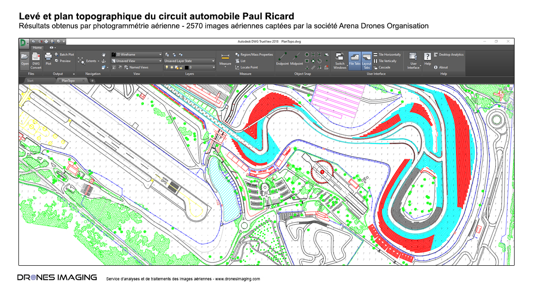
Medium resolution - extract from the Autocad plan in DWG format
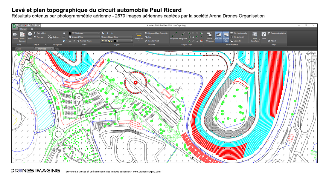
High resolution - extract from the Autocad plan in DWG format
Ultra high resolution - extract from the Autocad plan in DWG format
Topographic map built in Pdf and Dwg formats for updating the site and studying future resurfacing work which begins this month: new asphalt mainly concerning bends and redesigning slopes to eliminate water level problems.
TECHNICAL INFORMATIONS
Aerial images processing & vectorization : Drones Imaging company